


No information available
Intro
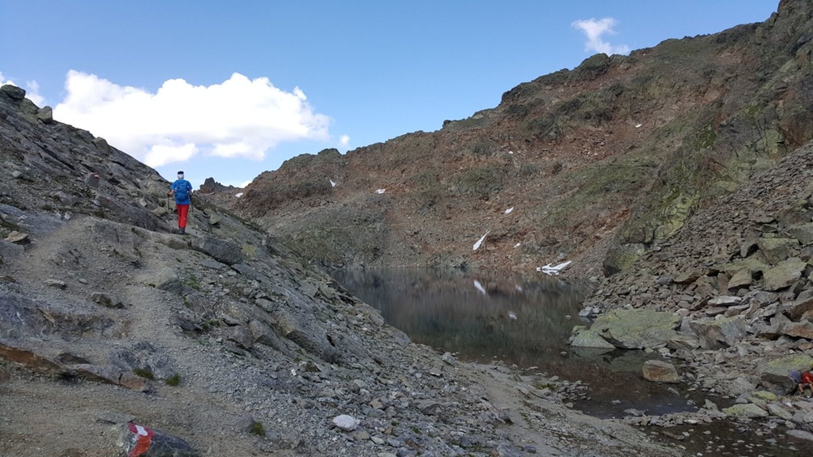
Alpine hike on wide vehicle track and narrow trail
Tour description
From the Lazidbahn top station (S301) on wide vehicle track or via the Böderköpfe to the Scheid (S217), at the signpost (S219) turn onto trail no. 26 to the crossing to the Pezid (S224). Ascent over trail no. 30 to the Gadratschjoch (S227). Continue on the vehicle track and hike the last meters along the ridge to the summit. Descent to the cable car station and over the narrow, steep ridge to the Pezidsattel (S292). Continue over the Vordere Valgeier no. 31a to the Lader Moos (S289). From there onto trail no. 31b to the Böderhütte (S286) and on trail no. 30 to the Lazid Kreuzchen (S280). On wide trail back to the Komperdell (Kölner Haus).
No information available
Tour information
Difficulty:
medium
Start: Lazid top station
End: Komperdell top station
Start: Lazid top station
End: Komperdell top station
12.08 km
Route length
5 h
Duration


