


Intro
A scenic ridge trail to the 2,804 m high Planskopf, offering impressive panoramic views and a true alpine experience.
Tour description
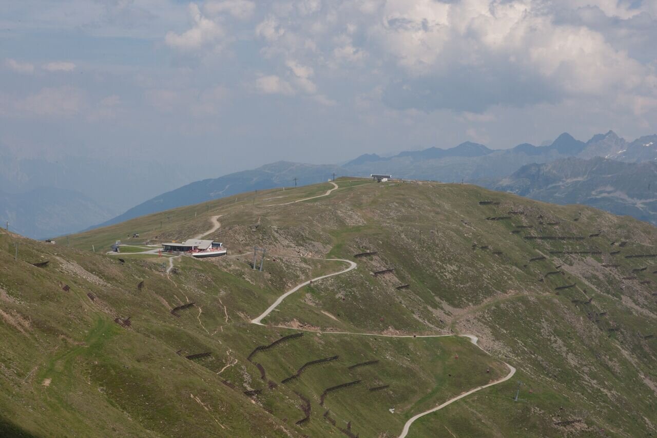
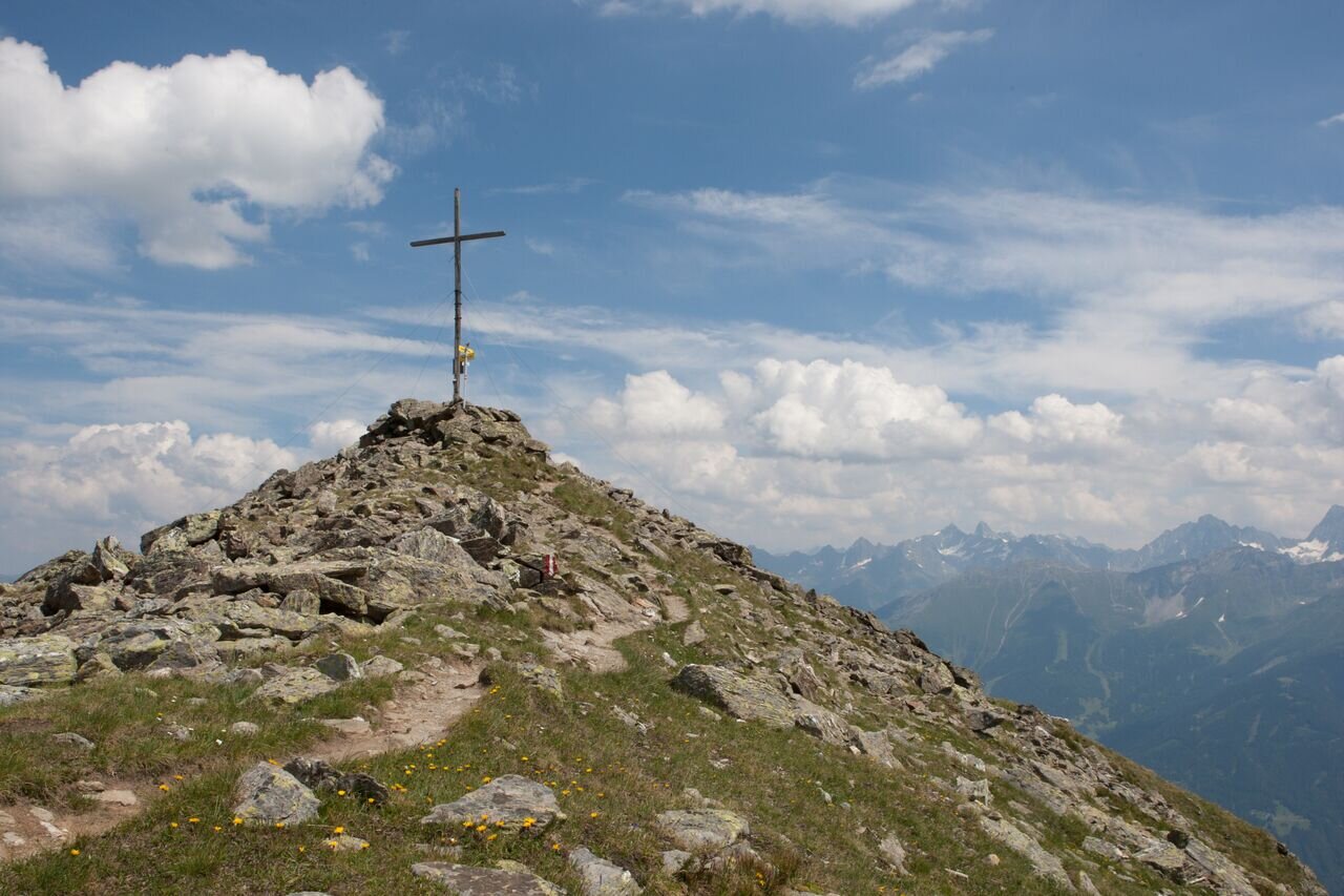
The trail leads along the ridge and is for the most part easy to walk. From the cablecar station (F087) cross the flat slope on the trail westwards below the Zwölferkopf over to the Zwölferjoch (F101) and in a short ascent over the ridge with a few boulders up to the Oberen Sattelkopf 2,596 m (F110), the summit cross of Fiss. Now continue over the Hinteren Sattelkopf 2.670 m (S254) to the Vorderen Brunnenkopf 2,685 m (S255). From here you have the possibility to descend to the south on the Brunnenjochsteig path to the Komperdell (S103) or to the Möseralm (F113). Continue along the ridge and over 2 rocky steep steps with fixed cables down to the Brunnenjoch (S256, sure-footedness required). Here there is another possibility to descend to the south. The continued hike leads you at the beginning over the rather characterless Hinteren Brunnenkopf, 2,642 m, a bit rocky to the Plansjoch and from here up to the Planskopf, 2,804 m (S260). Descent is possible via Urgjoch (S271) and steeply down to the Unteren Glockhäuser (S261) or somewhat flatter via the Blankasee lake (S266) and Glockseen lakes to the Komperdell (S103, 2 hours).
Start: Schönjochbahn top station
End: Planskopf


