



Open
Intro
A scenic mountain hike to the 2,596 m high Oberer Sattelkopf with alpine trails and impressive panoramic views.
Tour description
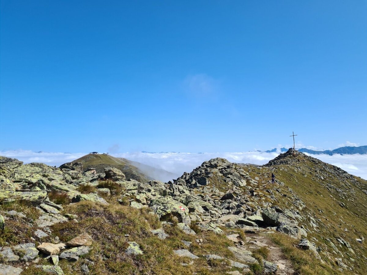
From the Komperdell top station (S201) head north on the broad trail to the signpost (S202). Ascending on the Quellenweg (Source Trail), through partly fen-like terrain, over pastures of the
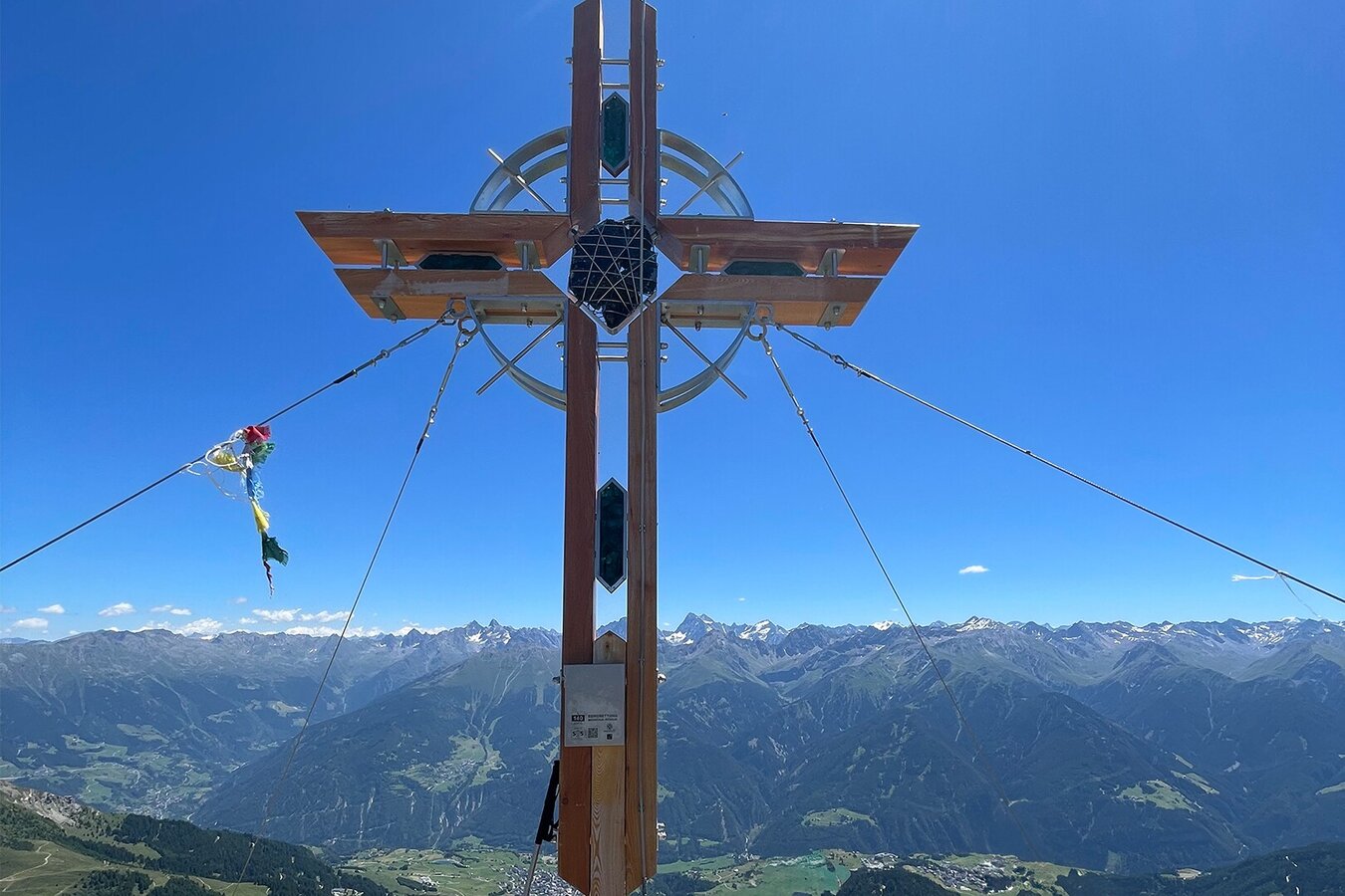
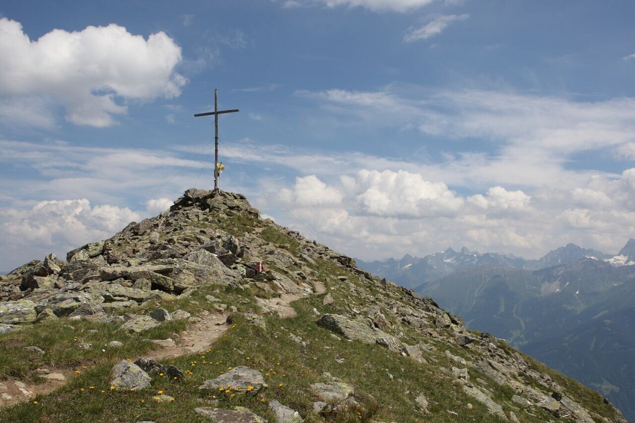
Komperdellalpe to the Mittlerer Sattelkopf (S250) and then on trail no. 11 ascend steeply to the summit cross on the Oberer Sattelkopf (F110). Variant: descent via Gratsteig 23 (ridge trail) to the Fisser Joch.
Open
Tour information
Difficulty:
medium
Start: Komperdellbahn top station
End: Oberer Sattelkopf
Start: Komperdellbahn top station
End: Oberer Sattelkopf
4.38 km
Route length
3 h
Duration
610 m
Elevation
25 m
Elevation loss


