Open
Intro
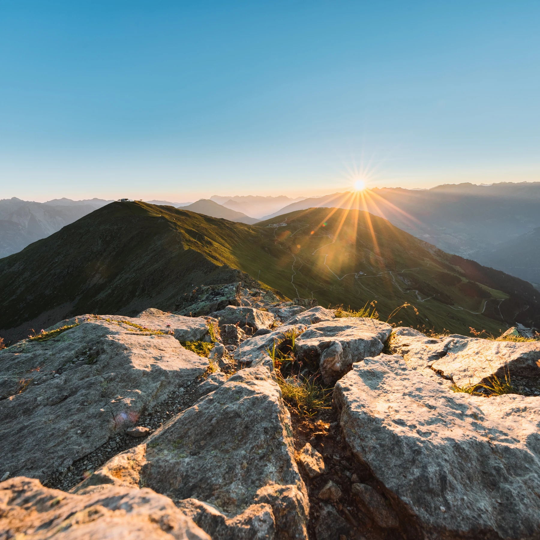
Mountain tour on well marked, steep trail.
Tour description
From the Komperdell top station (S201) on trail no. 20, 20a and 20b to the Brunnenjoch (S256). From there, over the Hinteren Brunnenkopf on trail no. 23 to the Planskopf (S260). Descent on trail no. 22 and 21. Variant: From the Komperdellbahn top station (S201) along the Furglerseesteig path no. 21 until the crossing (S208). From the Unteren Glockhäuser lake on the steep zig-zag trail no. 22 to the Urgjoch (S271), from there ascending slightly on trail no. 23 to the summit. Descent via the Hinteren Brunnenkopf no. 23 to the Brunnenjoch. Down via trail no. 20b, 20a and 20 back to your point of departure.
Open
Tour information
Difficulty:
medium
Start: Komperdell top station
End: Planskopf
Start: Komperdell top station
End: Planskopf
4.35 km
Route length
3 h
Duration
852 m
Elevation
28 m
Elevation loss