


Open
Intro
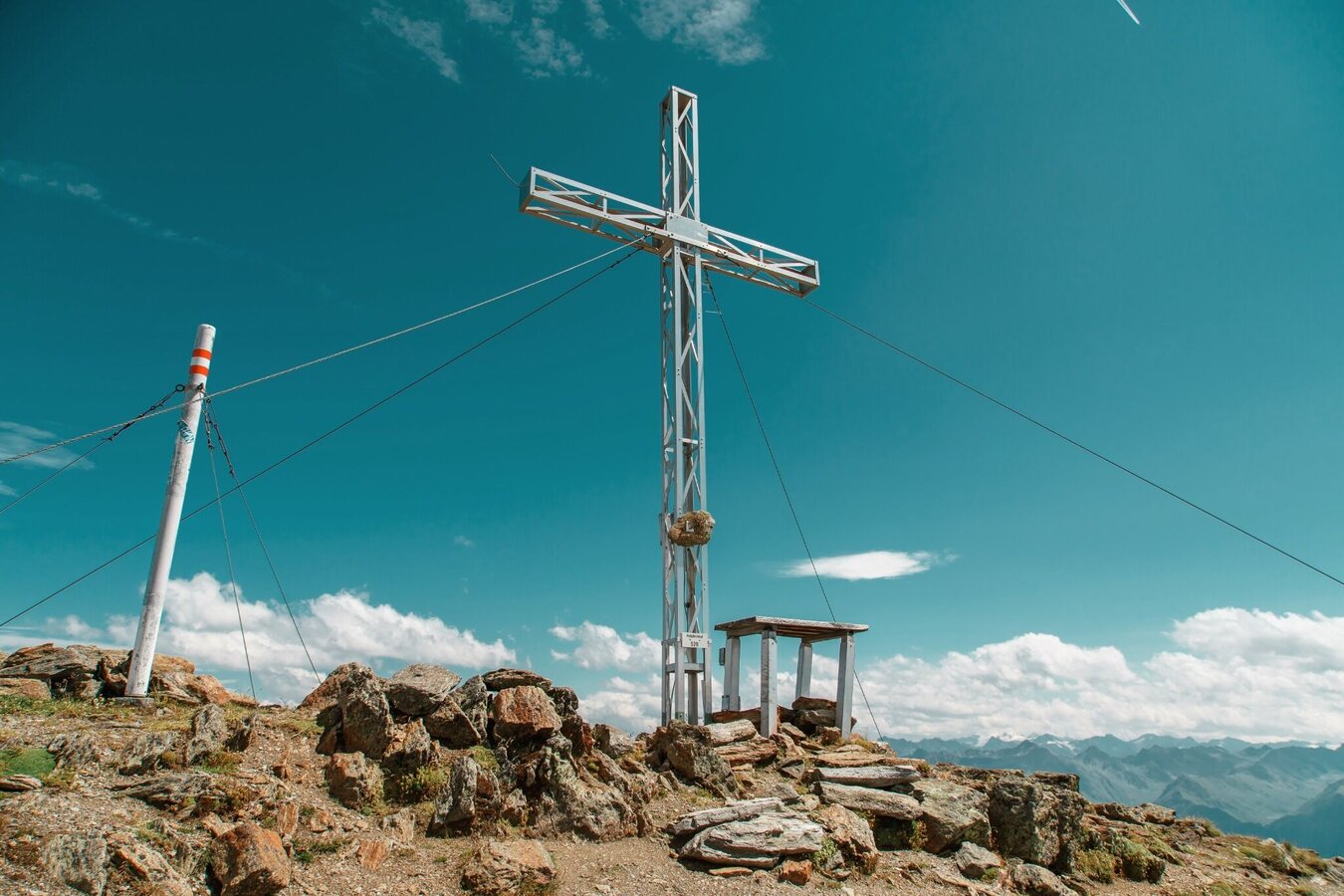
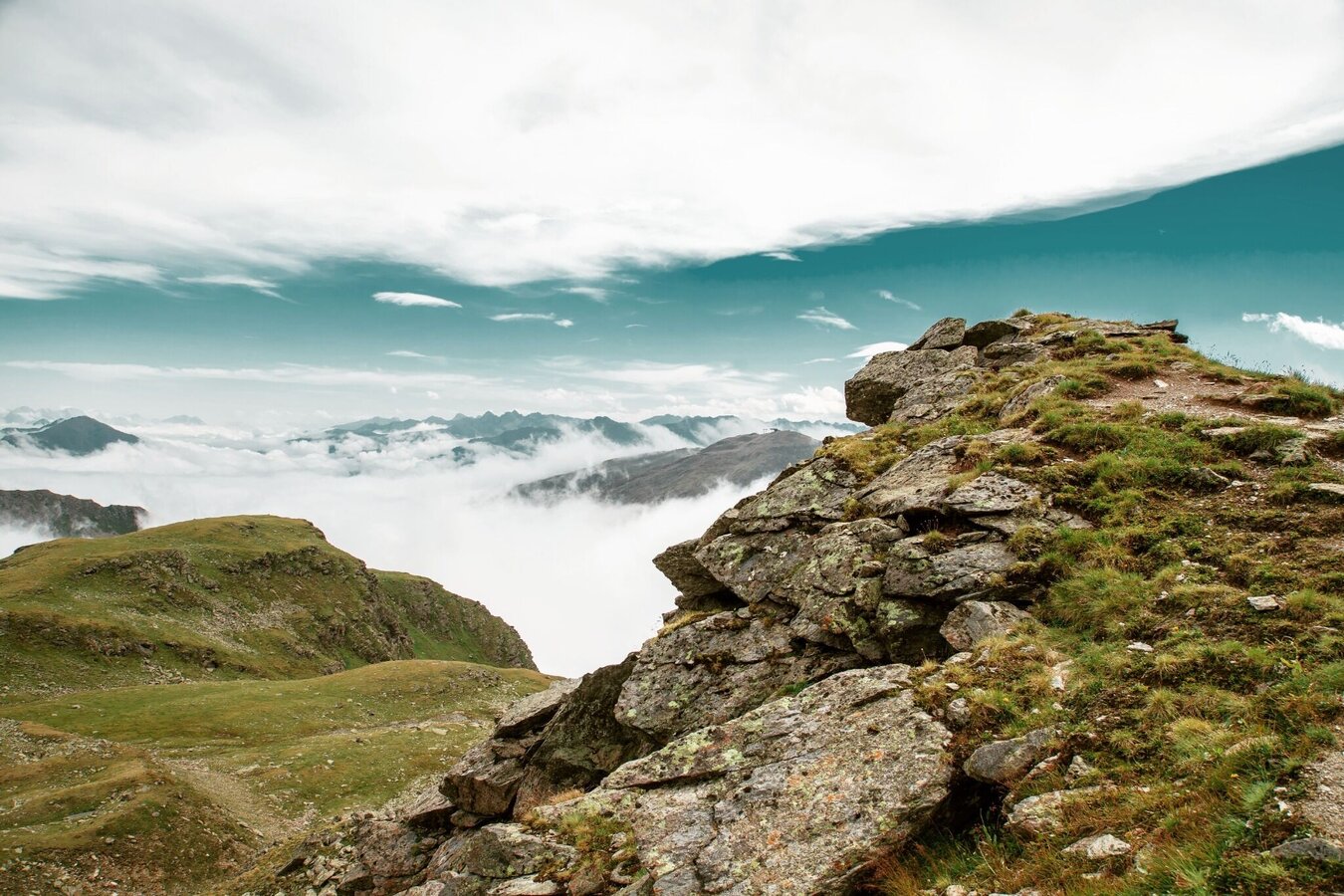
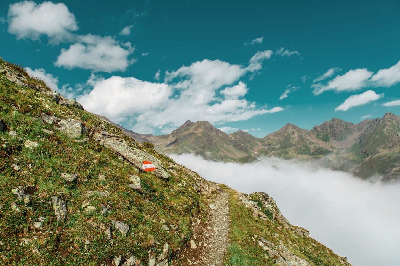
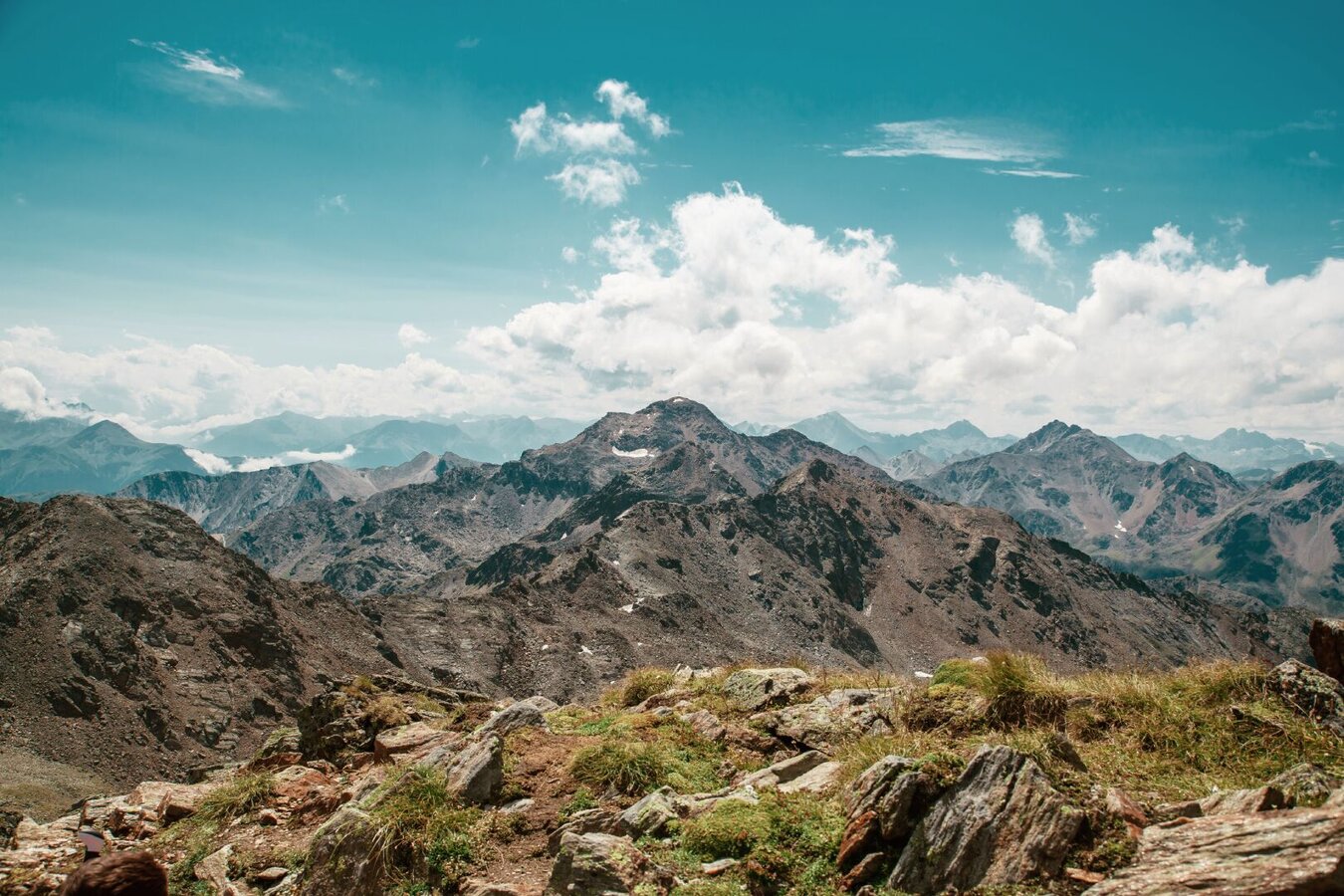
A challenging summit hike to Rotpleiskopf with impressive panoramic views of the surrounding mountains.
Tour description
Ascent over the Unteren Glockhäuser lakes (S261) to the Urgjoch (S271). From there over scree and some snowfields to the Kübelgrubenscharte (S273). Short descent to the crossing (S276).Then ascent to the summit (S275).
Open
Tour information
Difficulty:
difficult
Start: Komperdellbahn top station
End: Rotpleiskopf
Start: Komperdellbahn top station
End: Rotpleiskopf
5.5 km
Route length
5 h
Duration
891 m
Elevation
69 m
Elevation loss


