


Open
Intro
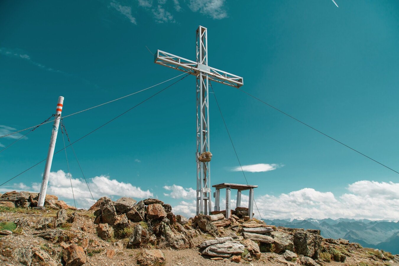
A challenging summit hike via the scenic ridge trail and Planskopf to the 2,936 m high Rotpleiskopf.
Tour description
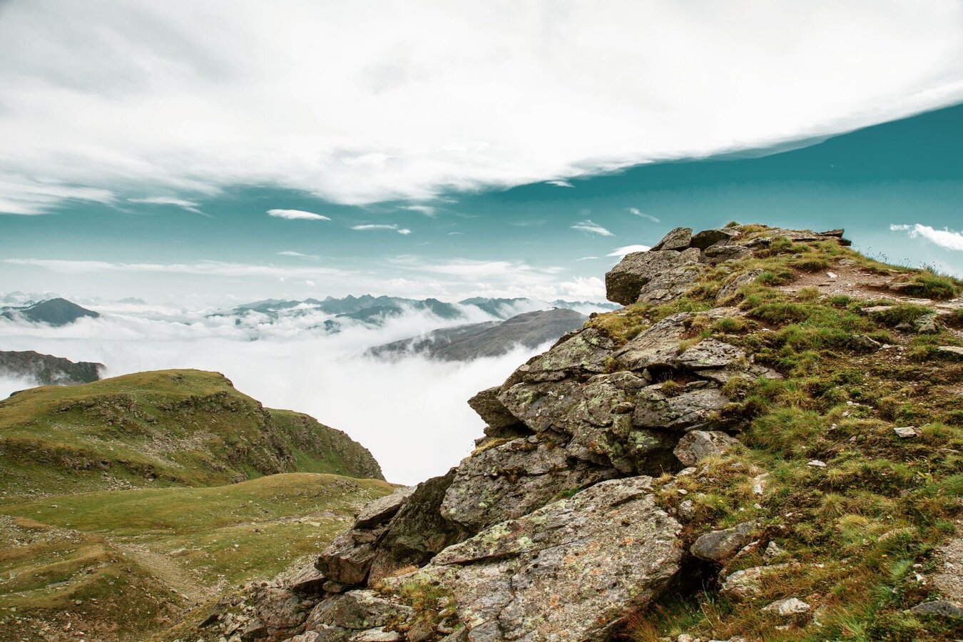
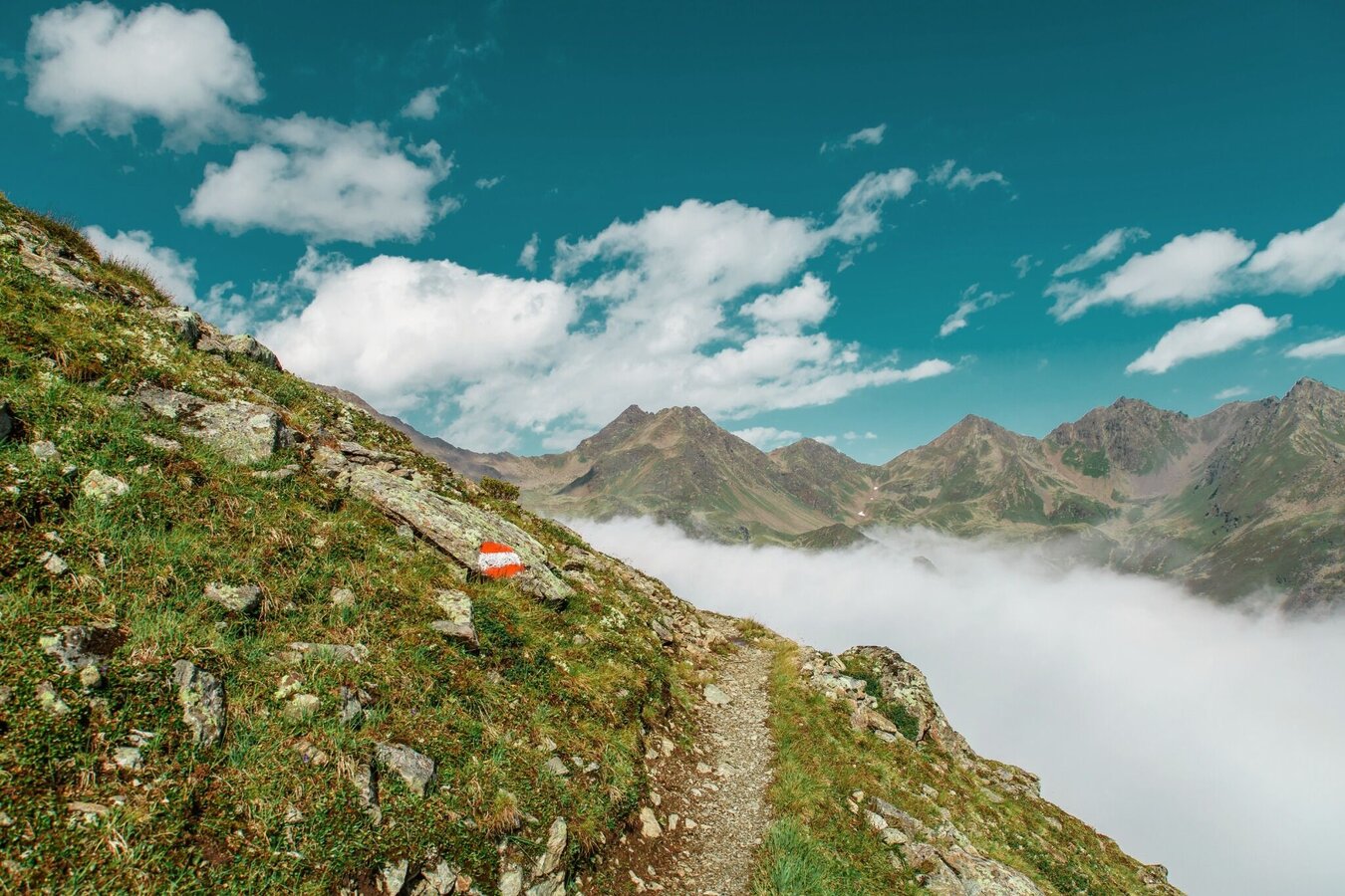
From the Fisser Joch (F087) on the Gratweg trail no. 23 with lots of good views via Sattelköpfe (F110), Brunnenköpfe (S255) to Planskopf 2,804 m (S260). Continue to the Urgjoch (S271), from there at first an ascent, stay on the ridge, then go right below the Kübelgrubenkopf, traversing a steep flank (caution: snowfields, danger of slipping) to the Kübelgrubenscharte (S276). Here go left from the ridge, at first you descend a little, then ascend steeply up to the shoulder (S274) at the Blauen Kopf and on to the Rotpleiskopf (S275). Descent to the Ascherhütte or via Spinnseen lakes to the Urgtal valley (F106).
Open
Tour information
Difficulty:
difficult
Start: Schönjochbahn top station
End: Rotpleiskopf
Start: Schönjochbahn top station
End: Rotpleiskopf
7.58 km
Route length
4.5 h
Duration
707 m
Elevation
279 m
Elevation loss


