


Open
Intro
A spectacular mountain hike to the highest summit in the Urgtal valley, offering impressive panoramic views and stunning alpine scenery.
Tour description
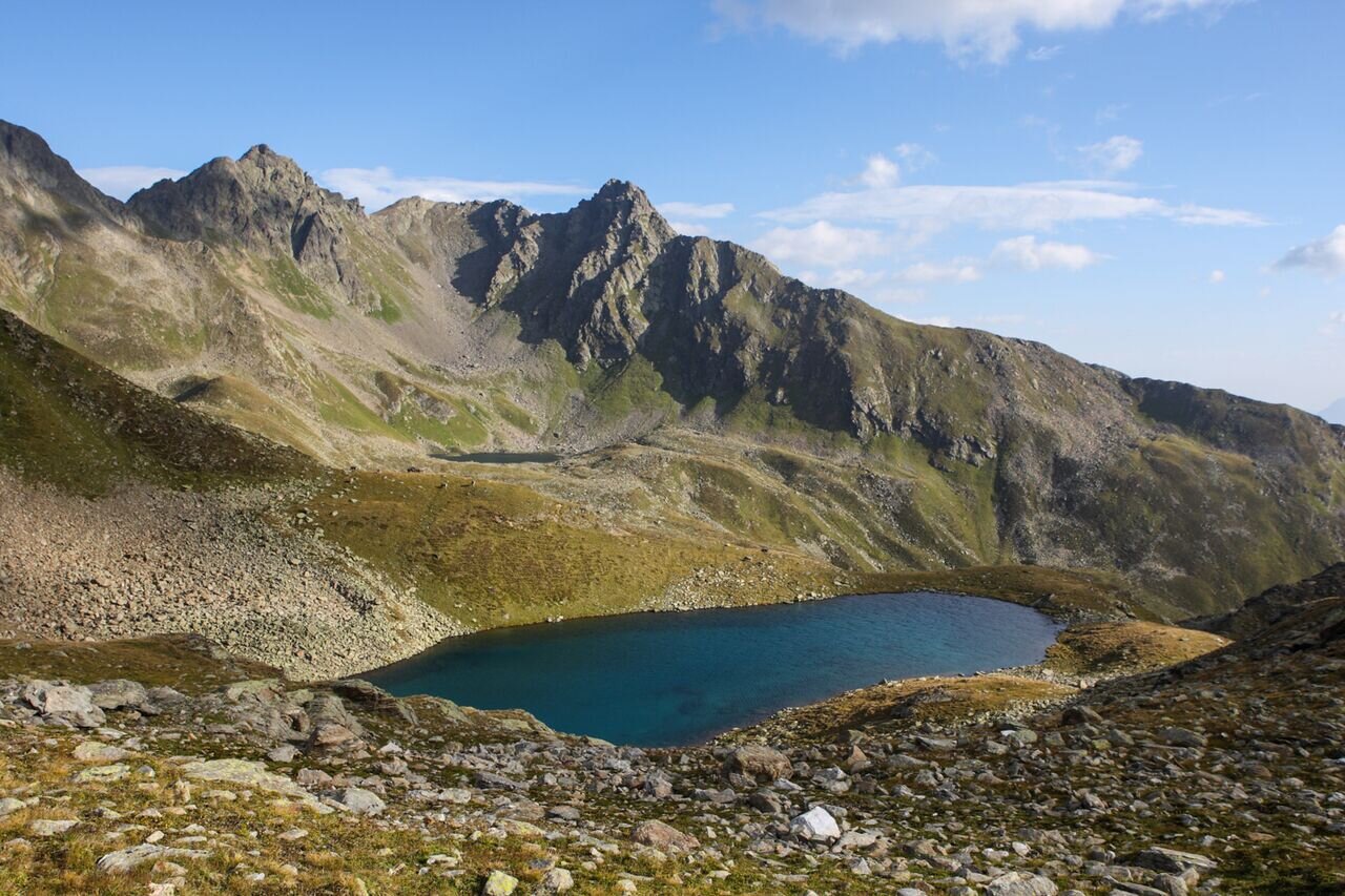
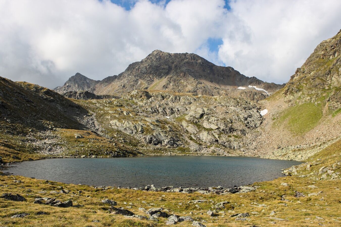
You reach the Oberen Spinnsee lake as descripted on trail no. 16. From the lake, go left up over the Steinkare to the Spinnscharte 2,681 m (F106a) and over a boulder ridge on a beautiful trail with short fixed rope route to the summit 2,936 m (S275). Descent is possible via Kübelgrubenscharte (S276) and the Urgjoch (S271) to the Komperdell (S103) 3 hours, or via Planskopf (S260) and the Gratweg trail back to the Fisser Joch (F087).
Open
Tour information
Difficulty:
difficult
Start: Schönjochbahn top station
End: Rotpleiskopf
Start: Schönjochbahn top station
End: Rotpleiskopf
7.01 km
Route length
4 h
Duration
643 m
Elevation
277 m
Elevation loss


