


No information available
Tour description
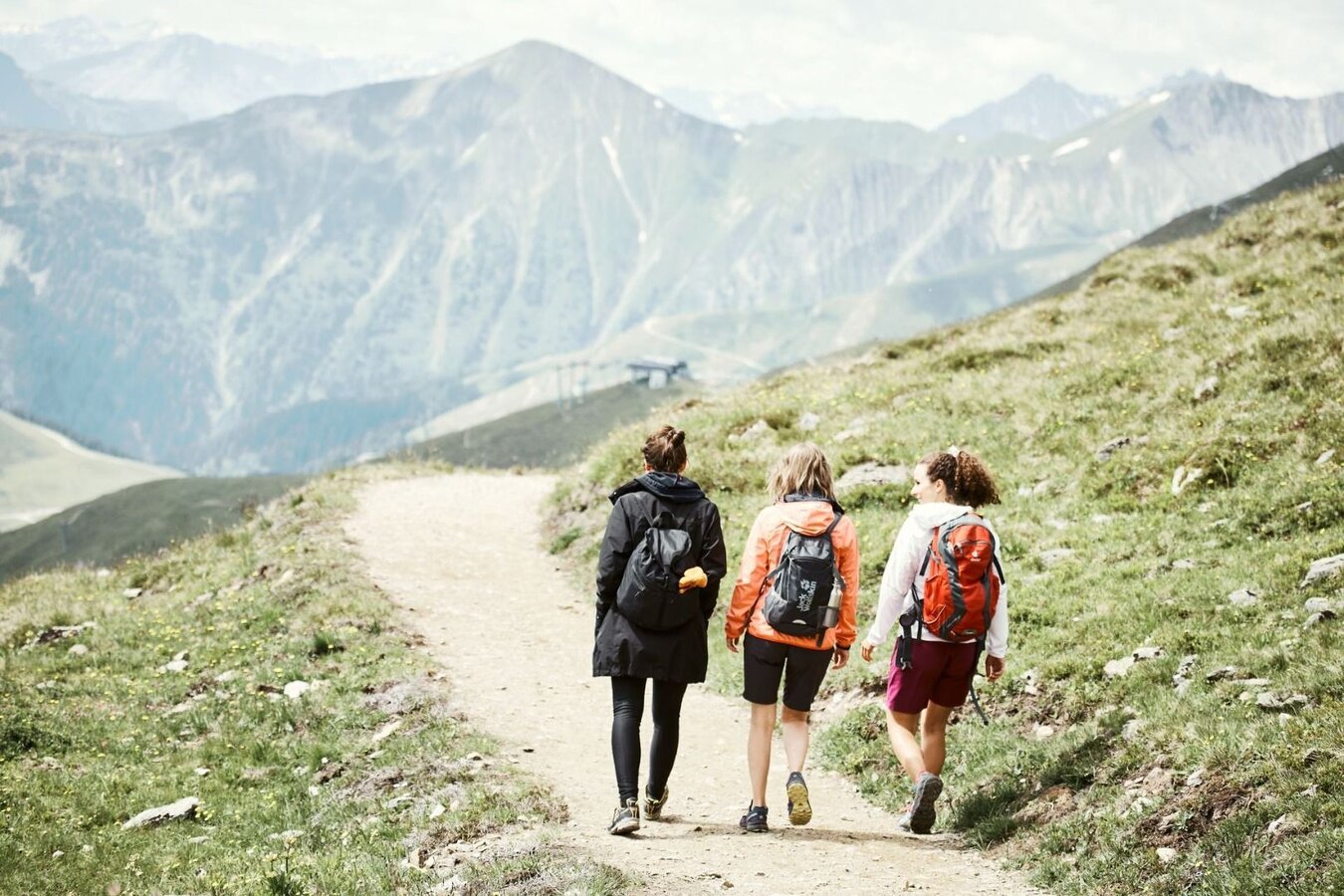
As on trail no. 33. At the crossing with trail no. 2, go on the main trail straight ahead for a short bit, then at the serpentine, turn right (L001). Take the Ochsenleite trail (crossing of the Explorer's Trail) which leads to a flatter terrace of meadows. From here, go to the crossing in Edlachwald forest (F006a). Walk right down on trail no. 3 to the Villa (L016) and to Obladis (L065), while trail no. 34 leads slightly to the right up to the Schönegg (L020). The left trail no. 3 leads up to the Falterjöchl (F006, beautiful viewpoint spot) and further on to Fiss (F008).
No information available
Tour information
Route type:
Suitable for buggies
Difficulty: easy
Start: Community hall at village centre
End: Obladis
Difficulty: easy
Start: Community hall at village centre
End: Obladis
3.77 km
Route length
1.25 h
Duration
301 m
Elevation
103 m
Elevation loss


